 Ruin to visit
Guirbaden Castle
Ruin to visit
Guirbaden Castle
Markers
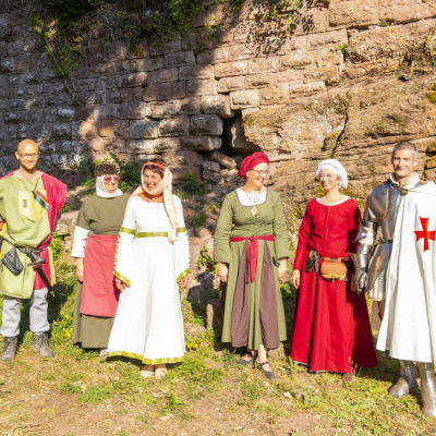
The first castle built around the year 1000 is noted under the name of ‘Guirbadum’ in 1137. Destroyed by Frédéric Barberousse and rebuilt by the Dabo-Eguisheims, it was later owned by the Duke of Lorraine, who modernised it in the 13th century. An episcopal fortress, Guirbaden was controlled by different Alsatian families: the Balbronns, the Andlaus, the Müllenheims, the Hohensteins, and it ended up being burnt down during the Thirty Years’ War.
History
An old almanac tells how the soldiers from Lorraine were able to take the castle by treachery and murder its occupants by surprise: “What force could not achieve, a servant of the house accomplished. By nocturnal treachery, the vile mercenary showed the Lorrain soldiers in the woods a path; there it is, the underground door through which they all entered.”
Key points
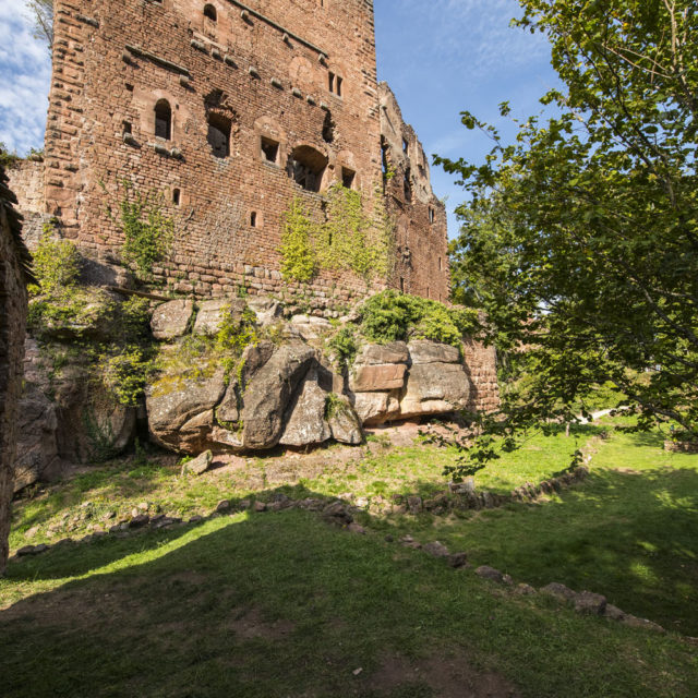
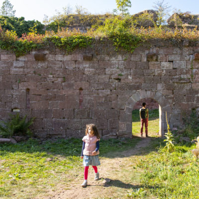
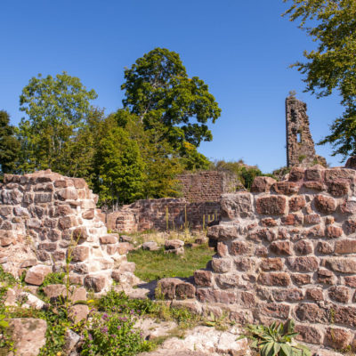
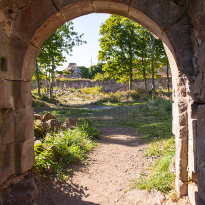
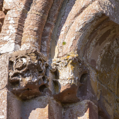
The vast ruin of the castle stretches over 250 m in length — to the east, with the keep of Old Guirbaden and, to the west, the fort-garrison, the former prison of Tour de la Faim (Hunger Tower) and the Chapel of Saint Valentin.
Practical informations
- Address
-
67190 Mollkirch - Access
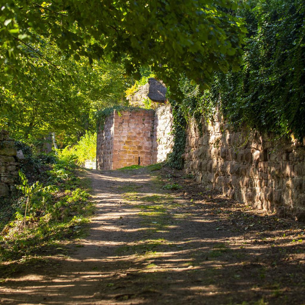
- The less steep and more pleasant access to the site is from Grendelbruch. At the cemetery, take the path leading up towards the forest.
- Walk time from car park
- 45 min
- Nearest tourism office
- Mont Sainte-Odile Tourisme
94, rue du Général de Gaulle - 67560 Rosheim
03 88 50 75 38 - contact@mso-tourisme.com
www.paysdumontsainteodile.com - Conservation association
- Association "Sauver le Guirbaden"
contact@sauver-le-guirbaden.fr - 06 85 98 31 64
www.sauver-le-guirbaden.fr - GPS coordinates
- Lat.: 48.49347172 - Long.: 7.37086527
Nearby